National Geographic Maps

National Geographic TOPO! interactive mapping software enables you to create your own seamless, customized topographic maps. Easy to use tools allow you to draw routes, calculate elevation profiles, add your own notes to the maps, and more.
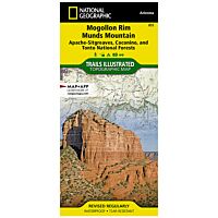 National Geographic Maps Trails Illustrated Map: Mogollon Rim/Munds Mountain - Apache Sitgreaves, Coconino & Tonto National ForestsAs low as $14.95
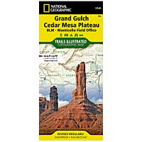 National Geographic Maps Trails Illustrated Map: Grand Gulch Plateau/Cedar Mesa Plateau - Blm-Monticello Field OfficeAs low as $14.95
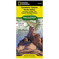 National Geographic Maps Trails Illustrated Map: Sycamore Canyon/Verde Valley - Coconino, Kaibab & Prescott National ForestsAs low as $14.95
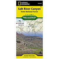 National Geographic Maps Trails Illustrated Map: Salt River Canyon - Tonto National ForestAs low as $14.95
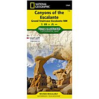 National Geographic Maps Trails Illustrated Map: Canyons of the Escalante - Grand Staircase-Escalante National MonumentAs low as $14.95
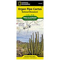 National Geographic Maps Trails Illustrated Map: Organ Pipe Cactus National MonumentAs low as $14.95
 National Geographic Maps 764 - Trails Illustrated Map: Chugach State Park/Anchorage - 2019 Edition$14.95
 National Geographic Maps 215 - Trails Illustrated Map: Glacier And Waterton Lakes National Parks - 2021 Edition$14.95
 National Geographic Maps Trails Illustrated Map: High Uintas Wilderness - Ashley And Wasatch-Cache National ForestsAs low as $14.95