Trails Illustrated Map: Organ Pipe Cactus National Monument
SKU
pg7006
As low as $14.95
Free Shipping*
Available to ship now
Free Store Pick-Up
At any of our Tucson locations
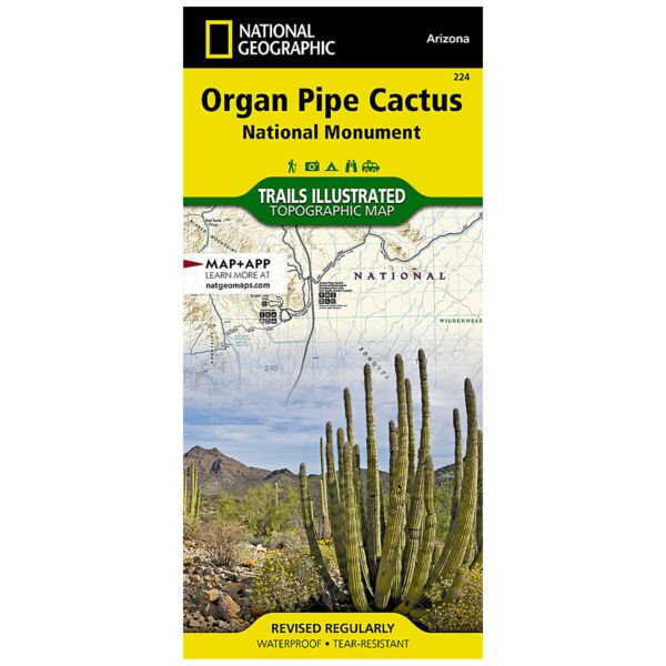
This Trails Illustrated topographic map for Organ Pipe Cactus National Monument, straddling southern Arizona, and northern Sonora, Mexico, is the perfect recreational map for this beautiful Sonoran desert wilderness. The map includes the entire Organ Pipe Cactus national monument area, with detailed topographic information. Included on the map are the Ajo Range, the Ajo Mountain Drive, Arch Canyon, Bates Mountains, Cipriano Hills, the Puerto Blanco Mountains, and much more. Includes UTM grids for use with your GPS unit.
Specifications
| Folded Size | 4.25" x 9.25" |
| Unfolded Size | 25.5" x 37.75" |
| Scale | 1:50,000 |
| ISBN | 9781566952132 |
| Revision Year | 2006 |
| UPC | 749717010031 |
Features
- Waterproof and tear-resistant
- Clearly marked trails for hiking, biking, horseback riding, and more
- Detailed topography and clearly defined, color-coded boundaries of state parks, national recreation areas, wilderness areas, marine sanctuaries and wildlife refuges - Hundreds of points-of-interest, including scenic viewpoints, campgrounds, boat launches and canoe carry downs, swimming areas, fishing access points, and more
- UTM and Latitude/Longitude grid, as well as selected waypoints and a scale bar for easy and accurate navigation
- Detailed road network
- Useful travel information on parks and key trails
- Important safety information and tips
- Information about local organizations and land management agencies
Brand
National Geographic Maps