Trails Illustrated Map: State Bridge/Burns
SKU
pg58362
As low as $5.00
Free Shipping*
Available to ship now
Free Store Pick-Up
At any of our Tucson locations
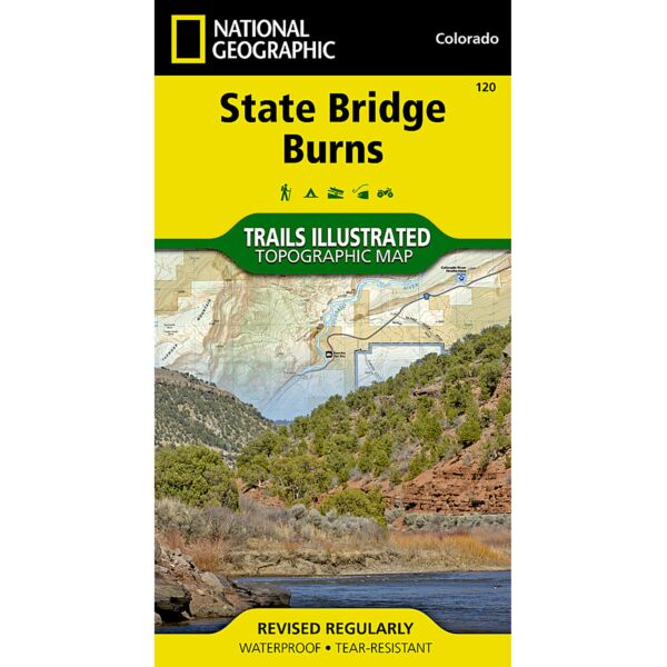
Coverage includes White River National Forest; Congor Mesa, Bond, Radium, McCoy, Burns, sements of the Colorado and Piney rivers; Castle Creek Ponds; and Muddy Creek Pass. Includes UTM grids for use with your GPS unit.
Specifications
| Folded Dimensions | 4 x 7.5 in |
| Opened Dimensions | 22 x 32 in |
| Scale | 1:40,680 |
| Date Published | 2001 |
| ISBN | 9781566952873 |
| Weight | 2 oz |
Features
- Topographic
- Tear-resistant
- Waterproof
Brand
National Geographic Maps