Trails Illustrated Map: Idaho Springs/Georgetown/Loveland Pass
SKU
434479
Special Price $5.00 Regular Price $14.95
Free Shipping*
Available to ship now
Free Store Pick-Up
At any of our Tucson locations
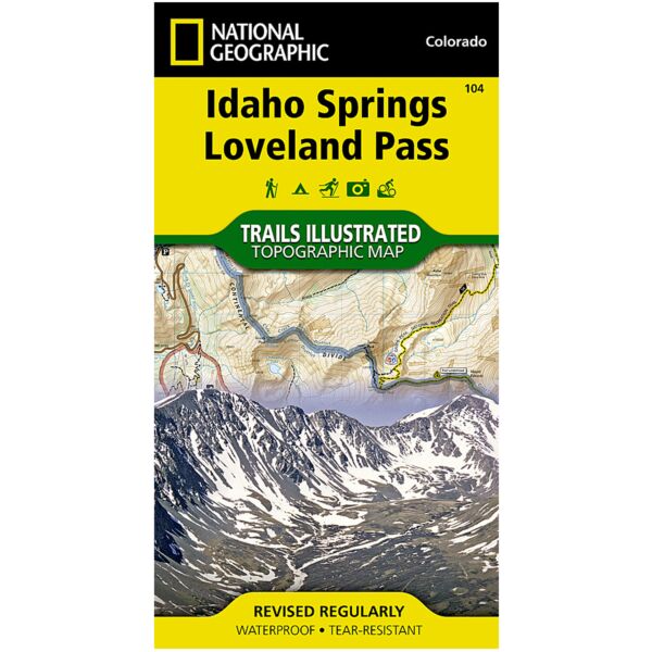
The most comprehensive recreational map for Idaho Springs and Loveland Pass. Coverage includes Arapaho and Pike national forests, Mount Evans Wilderness, Idaho Springs, Georgetown, Montezuma, Keystone, Clear Creek, Chicago Lakes, and Summit Lake. 14ers include: Mt Evans, Mt Bierstadt, Grays and Torreys peaks. Also includes Loveland, Webster, Juniper and Guanella passes. Ski Areas: Arapaho Basin, Loveland and Keystone. Includes UTM grids for use with your GPS unit.
Specifications
| Folded Size | 4" c 7.5" |
| Unfolded Size | 22" x 37.75" |
| Scale | 1:40,680 |
| Revision Date | 1/1/2003 |
| ISBN | 9781566952491 |
Features
- Waterproof and tear-resistant
- Clearly marked trails for hiking, biking, horseback riding, and more
- Detailed topography and clearly defined, color-coded boundaries of state parks, national recreation areas, wilderness areas, marine sanctuaries and wildlife refuges - Hundreds of points-of-interest, including scenic viewpoints, campgrounds, boat launches and canoe carry downs, swimming areas, fishing access points, and more
- UTM and Latitude/Longitude grid, as well as selected waypoints and a scale bar for easy and accurate navigation
- Detailed road network
- Useful travel information on parks and key trails
- Important safety information and tips
- Information about local organizations and land management agencies
Brand
National Geographic Maps