Trails Illustrated Map: Cowdrey/North Sand Hills
SKU
pg58297
As low as $5.00
Free Shipping*
Available to ship now
Free Store Pick-Up
At any of our Tucson locations
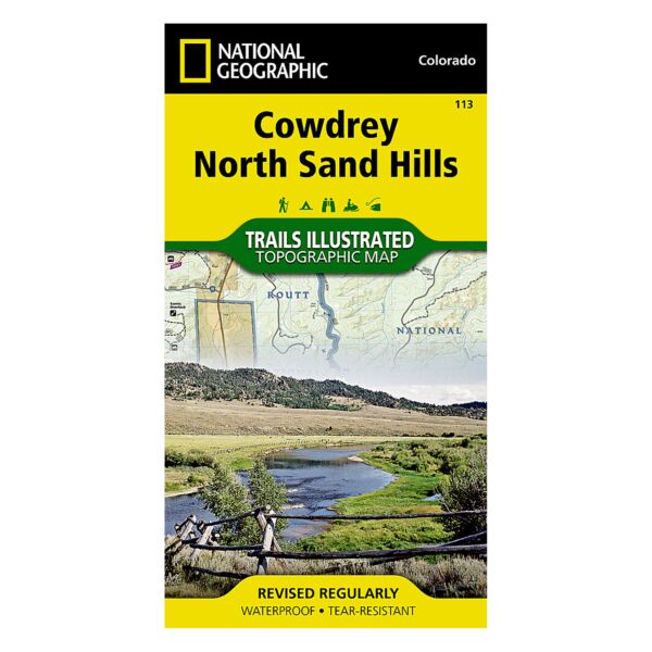
Coverage includes the Roosevelt and Routt national forests, the Platte River and Rawah wilderness areas, and portions of the Colorado State Forest. Also includes the Medicine Bow Mountains, the North Sand Hills Recreation Area, and the cities of Kings Canyon and Cowdrey. Additional recreational hotspots include Cowdrey Lake, Lake John, Ute Pass and a segment of the North Platte River.
Specifications
| Folded Dimensions | 4 x 7.5 in |
| Opened Dimensions | 22 x 32 in |
| Scale | 1:40,680 |
| Date Published | 2006 |
| ISBN | 9781566952880 |
| Weight | 2 oz |
Features
- Tear resistant
- Waterproof
- Includes UTM grids for use with your GPS unit.
Brand
National Geographic Maps