Trails Illustrated Map: Carbondale/Basalt - 2005 Edition
SKU
pg57520
As low as $5.00
Free Shipping*
Available to ship now
Free Store Pick-Up
At any of our Tucson locations
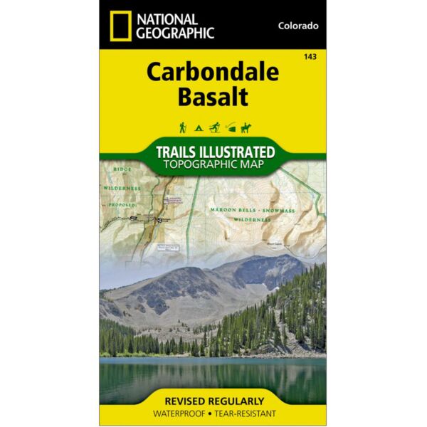
Coverage includes White River National Forest. Carbondale and Basalt. Roaring Fork, Fryingpan, and Crystal Rivers. Mt. Sopris, Red Hill, Basalt Mountain and Sloane Peak. Basalt State Wildlife Area. Ski Areas: Sunlight. Includes UTM grids for use with your GPS unit.
Specifications
| Scale | 1:40,680 |
| Unfolded Dimensions | 22 x 32 in |
| Folded Dimensions | 4 x 7.5 in |
Features
- Large, easy to use
- Waterproof and tear-resistant
- Includes UTM grids
Brand
National Geographic Maps