103 - Trails Illustrated Map: Winter Park/Central City/Rollins Pass
SKU
434478
Special Price $5.00 Regular Price $14.95
Free Shipping*
Available to ship now
Free Store Pick-Up
At any of our Tucson locations
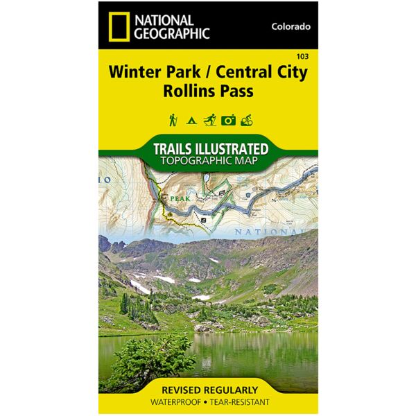
The Winter Park/Central City/Rollins Pass Trails Illustrated map is the most comprehensive recreational map for the forest and wilderness areas surrounding and including Indian Peaks Wilderness, Winter Park, and Fraser, Colorado. Coverage includes Roosevelt and Arapaho national forests, Indian Peaks and Byers Peak Wilderness, Eldora, Central City, Empire, Fraser and Winter Park, Berthoud Pass, Fraser River, Clear Creek, St. Mary's Glacier and Peterson lakes. Also includes Fraser Experimental Forest, and a portion of the Continental Divide Trail. Ski Areas: Eldora, Winter Park and Mary Jane, Devils Thumb cross-country ski area. Includes UTM grids for use with your GPS unit.
Specifications
| Folded Size | 4" x 7.5" |
| Unfolded Size | 22" x 32" |
| Scale | 1:40,680 |
| Revision Date | 1/1/2006 |
| ISBN | 9781566952767 |
Features
- Waterproof and tear-resistant
- Clearly marked trails for hiking, biking, horseback riding, and more
- Detailed topography and clearly defined, color-coded boundaries of state parks, national recreation areas, wilderness areas, marine sanctuaries and wildlife refuges - Hundreds of points-of-interest, including scenic viewpoints, campgrounds, boat launches and canoe carry downs, swimming areas, fishing access points, and more
- UTM and Latitude/Longitude grid, as well as selected waypoints and a scale bar for easy and accurate navigation
- Detailed road network
- Useful travel information on parks and key trails
- Important safety information and tips
- Information about local organizations and land management agencies
Brand
National Geographic Maps