Tucson SW, AZ - 7.5' Topo 1996
SKU
17525
$10.00
Free Shipping*
Available to ship now
Free Store Pick-Up
At any of our Tucson locations
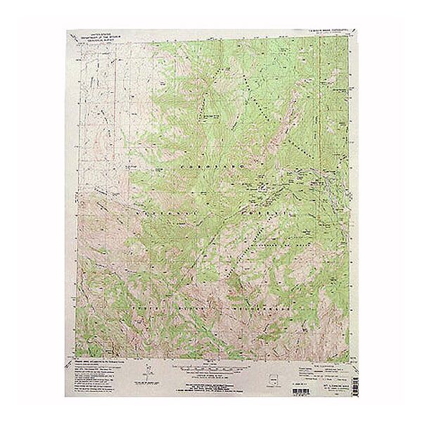
The Tucson Southwest 7.5' Quadrangle Map from U.S.G.S. covers part of the San Xavier Indian Reservation along the Santa Cruz Valley, as well as Tucson International Airport and the area just east of Old Nogales Highway.
Specifications
| Points of Interest | San Xavier Indian Reservation, Santa Cruz River, Santa Cruz Valley, Pima Mine Road, Old Nogales Highway, Rancho de Martinez, South Tucson, Martinez Hill, University of Arizona Experimental Research Laboratory, Tucson International Airport, Los Reales Road, Hughes Access Road, Alvernon Way |
Features
- 1996
- Scale: 1:24,000
- North American Datum of 1983 (NAD 83). Projection and 1000-meter grid: Universal Transverse Mercator, zone 12 2500-meter ticks: Arizona Coordinate System of 1983 (east zone)
- North American Datum of 1927 (NAD 27) is shown by dashed corner ticks. The values of the shift between NAD 83 and NAD 27 for 7.5-minute intersections are obtainable from National Geodectic Survey NADCON software
- Surrounding quadrangle maps include: 1. Cat Mountain, 2. Tucson, 3. Tucson East, 4. San Xavier Mission, 5. Tucson SE, 6. Twin Buttes, 7. Sahuarita, 8. Corona de Tucson
- ***Image is for illustration purposes only, actual map will appear different
- ***If you do not see the map you are looking for please contact our friendly staff at 1-800-499-8689.***
Brand
USGS