Tucson SE, AZ - 7.5' 1996
SKU
17524
$10.00
Free Shipping*
Available to ship now
Free Store Pick-Up
At any of our Tucson locations
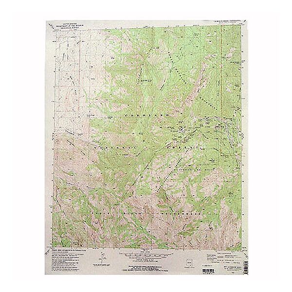
The Tucson Southeast 7.5' Quadrangle Map from U.S.G.S. provides information on southern tip of Davis-Monthan Air Force Base, and includes Esmond and the Country Fairgrounds.
Specifications
| Points of Interest | Southwest Regional Park, County Fairgrounds, Arizona State Prison Complex, Federal Correction Institution, Esmond, Davis-Monthan Air Force Base, Interstate 10, south Tucson, Wilmot, Littletown |
Features
- 1996
- Scale: 1:24,000
- North American Datum of 1983 (NAD 83). Projection and 1000-meter grid: Universal Transverse Mercator, zone 12 2500-meter ticks: Arizona Coordinate System of 1983 (east zone)
- North American Datum of 1927 (NAD 27) is shown by dashed corner ticks. The values of the shift between NAD 83 and NAD 27 for 7.5-minute intersections are obtainable from National Geodectic Survey NADCON software
- Surrounding maps include: 1. Tucson, 2. Tucson East, 3. Tanque Verde Peak, 4. Tucson SW, 5. Vail, 6. Sahuarita, 7. Corona de Tucson, 8. Mount Fagan
- ***Image is for illustration purposes only, actual map will appear different
- ***If you do not see the map you are looking for please contact our friendly staff at 1-800-499-8689.***
Brand
USGS