Tucson North, AZ - 7.5 Topo 1996
SKU
17523
$10.00
Free Shipping*
Available to ship now
Free Store Pick-Up
At any of our Tucson locations
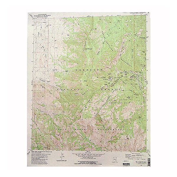
7.5 minute topographical map of Tucson North, AZ 1996.
Specifications
| Points of Interest | Rillito River, Rillito Downs Race Track, Flowing Wells area, Casas Adobes are, Oro Valley, Pusch Ridge Wilderness, Pontatoc Ridge, Finger Rock, Pima Canyon, Coronado National Forest, Cliff Valley Golf Course |
Features
- 1996
- Scale: 1:24,000
- North American Datum of 1983 (NAD 83). Projection and 1000-meter grid: Universal Transverse Mercator, zone 12 2500-meter ticks: Arizona Coordinate System of 1983 (east zone)
- North American Datum of 1927 (NAD 27) is shown by dashed corner ticks. The values of the shift between NAD 83 and NAD 27 for 7.5-minute intersections are obtainable from National Geodectic Survey NADCON software
- Surrounding quadrangles include: 1. Ruelas Canyon, 2. Oro Valley, 3. Mount Lemmon, 4. Jaynes, 5. Sabino Canyon, 6. Cat Mountain, 7. Tucson, 8. Tucson East
- ***Image is for illustration purposes only, actual map will appear different
- ***If you do not see the map you are looking for please contact our friendly staff at 1-800-499-8689.***
Brand
USGS