Tucson East, AZ - 7.5' 1996
SKU
17522
$10.00
Free Shipping*
Available to ship now
Free Store Pick-Up
At any of our Tucson locations
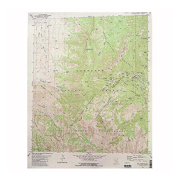
Trying to find your way around Davis-Monthan Air Force Base or the rest of East Tucson? The Tucson East 7.5' Quadrangle Map from U.S.G.S. features topographical information East of Craycroft Road, just East of Tanque Verde Loop.
Specifications
| Points of Interest | Davis-Monthan Air Force Base, Pantano Wash, Lincoln Park Golf Course, Udall Park, Tanque Verde Wash, Park Place Mall |
Features
- 1996
- Scale: 1:24,000
- North American Datum of 1983 (NAD 83). Projection and 1000-meter grid: Universal Transverse Mercator, zone 12 2500-meter ticks: Arizona Coordinate System of 1983 (east zone)
- North American Datum of 1927 (NAD 27) is shown by dashed corner ticks. The values of the shift between NAD 83 and NAD 27 for 7.5-minute intersections are obtainable from National Geodectic Survey NADCON software
- Surrounding Quadrangle Maps include: 1. Tucson North, 2. Sabino Canyon, 3. Aqua Caliente Hill, 4. Tucson, 5. Tanque Verde Peak, 6. Tucson SW, 7. Tucson SE, 8. Vail
- ***Image is for illustration purposes only, actual map will appear different
- ***If you do not see the map you are looking for please contact our friendly staff at 1-800-499-8689.***
Brand
USGS