Tucson, AZ - 7.5' 1996
SKU
17521
$10.00
Free Shipping*
Available to ship now
Free Store Pick-Up
At any of our Tucson locations
The Tucson 7.5' Quadrangle Map from U.S.G.S. starts just south of Valencia Road and covers just East of Interstate 19, south of Grant Road, and west of Craycroft Road. If you are looking for information on South Tucson that includes the University of Arizona, Davis-Monthan Air Force Base, and the northern section fo Tucson International Airport, this map is sure to have what you need!
Specifications
| Points of Interest | El Rio Golf Course, Sentinel Peak Park, Univeristy of Arizona, South Tucson, Polvo, Davis-Monthan Air Force Base, Tucson Electric Park, Santa Cruz River, Emery Park, Tucson International Airport, Randolf Municipal Golf Course, Julian Wash |
Features
- 1996
- Scale: 1:24,000
- North American Datum of 1983 (NAD 83). Projection and 1000-meter grid: Universal Transverse Mercator, zone 12 2500-meter ticks: Arizona Coordinate System of 1983 (east zone)
- North American Datum of 1927 (NAD 27) is shown by dashed corner ticks. The values of the shift between NAD 83 and NAD 27 for 7.5-minute intersections are obtainable from National Geodectic Survey NADCON software
- Surrounding maps include: 1. Jaynes, 2. Tucson North, 3. Sabino Canyon, 4. Cat Mountain, 5. Tucson East, 6. San Xavier Mission, 7. Tucson SW, 8. Tucson SE
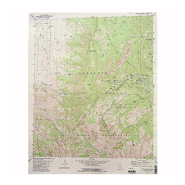
- ***Image is for illustration purposes only, actual map will appear different.***
- ***If you do not see the map you are looking for please contact our friendly staff at 1-800-499-8689.***
Brand
USGS