Trails Illustrated Map: Paiute ATV Trail - Fish Lake National Forest/BLM
SKU
pg57594
As low as $14.95
Free Shipping*
Available to ship now
Free Store Pick-Up
At any of our Tucson locations
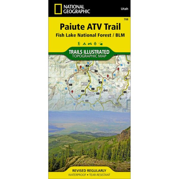
This Trails Illustrated topographic map is the most comprehensive recreational map for Utah's Paiute ATV Trail.
Coverage includes: Fishlake National Forest; BLM - Sevier River Resource Area; Millard, Sevier and Paiute counties; complete map of Paiute ATV Trail with adjoining loop trails and town access maps; Fillmore; Richfield; Koosharem; Marysvale; Geenwich and Circleville. Piute, Otter Creek, Rocky Ford, Koosharem and Three Creeks reservoirs are also included.
Specifications
| Folded Dimensions | 4 x 9 in |
| Unfolded Dimensions | 26 x 38 in |
| Scale | 1:90,000 |
Features
- Waterproof and tear-resistant
- Clearly marked trails for hiking, biking, horseback riding, ATV, and more
- Detailed topography and clearly defined, color-coded boundaries of state parks, national recreation areas, wilderness areas, marine sanctuaries, and wildlife refuges
- Hundreds of points of interest, including scenic viewpoints, campgrounds, boat launches, swimming areas, fishing access points, and more
- UTM and latitude/longitude grid, as well as selected waypoints and a scale bar for easy and accurate navigation
- Detailed road network
- Important safety information and travel tips
Brand
National Geographic Maps