Trails Illustrated Map: Guadalupe Mountains National Park
SKU
pg79258
As low as $14.95
Free Shipping*
Available to ship now
Free Store Pick-Up
At any of our Tucson locations
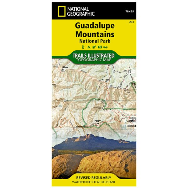
Created in cooperation with the National Park Service and others, National Geographic's Trails Illustrated map of Guadalupe Mountains National Park is a complete travel guide to this pristine wilderness area. The map includes expertly researched information about the trees, shrubs, birds, amphibians and other flora and fauna that live in the the park's three ecosystems. The park's geologic history, which dates back nearly 300 million years, is explained as well.
Outdoor enthusiasts will be able to explore the area following precisely mapped trails, which include mileage markers and are color-coded according to their designated usage. Campgrounds, primitive campsites, picnic areas and points of interest along the trails are marked. To aid in your navigation of the area, the map also displays contour lines, elevations, labeled peaks, four-wheel drive and high clearance roads, water features and various waypoints. Additionally a campground to campground mileage chart will help you plans your journey. The map covers map popular points of interest, including Lincoln National Forest, Guadalupe Mountains and Guadalupe Mountains Wilderness. An inset regional map will assist you accessing the park and the nearby Carlsbad Caverns National Park.
Every Trails Illustrated map is printed on "Backcountry Tough" waterproof, tear-resistant paper. A full UTM grid is printed on the map to aid with GPS navigation.
Other features found on this map include: Brokeoff Mountains, Carlsbad Caverns National Park, Guadalupe Mountains, Guadalupe Mountains National Park, Guadalupe Peak, Lincoln National Forest.
Specifications
| Product Number | TI00000203 |
| ISBN | 9781566953160 |
| UPC | 749717009820 |
| Dimensions | Folded: 4.25 x 9.25 in |
| Flat: 37.75 x 25.5 in | |
| Scale | 1:35,000 |
| Date | 2020 |
Features
- Waterproof
- Tear-Resistant
- Topographic Map
Brand
National Geographic Maps