Trails Illustrated Map: Uncompahgre Plateau South - Uncompahgre National Forest - 2011 Edition
SKU
pg58365
As low as $5.00
Free Shipping*
Available to ship now
Free Store Pick-Up
At any of our Tucson locations
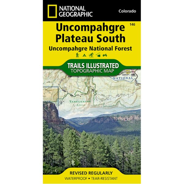
National Geographic's Trails Illustrated map of Uncompahgre Plateau South is a two-sided, waterproof map designed to meet the needs of outdoor enthusiasts with unmatched durability and detail. This map was created in conjunction with local land management agencies and is loaded with valuable recreation information.
The front side of the map details the southeastern portion of the Plateau and Uncompahgre National Forest, as well as Ridgway State Park. On the reverse side of the map, the southwestern portion of Uncompahgre National Forest, including the Naturita Division, is featured as well as the Tabeguache Area, Roubideau Special Management Area, Unaweep/Tabeguache Scenic and Historic Byway, and Dry Creek Basin and Dan Noble State Wildlife Areas.
The Uncompahgre Plateau South map is printed in the United States on durable synthetic paper, making it waterproof, tear-resistant, and trail tough — capable of going anywhere you do.
Specifications
| Folded Dimensions | 4 x 7.5 in |
| Opened Dimensions | 25.5 x 37.75 in |
| Scale | 1:63,360 |
| Date Published | 2011 |
| ISBN | 9781566955843 |
| Weight | 3 oz |
Features
- Waterproof and tear-resistant
- Detailed road network and clearly marked trails for hiking, biking, horseback riding, skiing, ATV and more
- Detailed topography and clearly defined, color-coded boundaries of national forests, state parks, wilderness areas, and wildlife refuges
- Hundreds of points-of-interest, including trailheads, campgrounds, boat launches, fishing, ranger stations and more
- UTM and Latitude/Longitude grid, as well as selected waypoints and a scale bar for easy and accurate navigation.
- Useful information on United States Forest Service trail travel management and vehicle use
- Important contact information for local land management agencies
- Information on special areas including Roubideau Special Management Area and Tabeguache Area
Brand
National Geographic Maps