Burnt Corral Canyon, NM - 7.5' Topo 1999
SKU
pg64635
As low as $5.00
Free Shipping*
Available to ship now
Free Store Pick-Up
At any of our Tucson locations
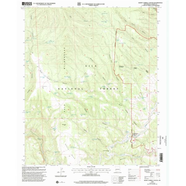
7.5 minute topographical map of Burnt Corral Canyon, Catron County, New Mexico 1999
Features
- Long Name: BURNT CORRAL CANYON, NM
- Scale: 1:24,000
- Content: Contours
- Alternate ID: TNM0255
- ISBN: 978-0-607-99994-5
- Authors:
- Version Date: 1999
- Regions: NM
- Countries: USA
- Latitude: 33° 15' 0? N to 33° 22' 30? N
- Longitude: 108° 15' 0? W to 108° 7' 30? W
- Media: Paper
- Format: Flat
Brand
USGS