Trails Illustrated Map: Grand Canyon National Park - West
SKU
pg35952
As low as $14.95
Free Shipping*
Available to ship now
Free Store Pick-Up
At any of our Tucson locations
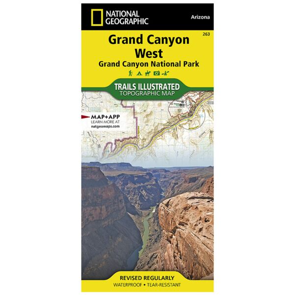
Grand Canyon West (#263) and Grand Canyon East (#262) combine to cover the entire Grand Canyon National Park and its bordering public lands. Both maps contain detailed and easy-to-read trail and road networks, locations of facilities, points of interest, and highly accurate terrain with thousands of feature names. Official Grand Canyon Backcountry Use Areas are shown, coded by degree of experience required. Suggested hikes and itineraries, important park regulations, safety tips and contact information make these maps an invaluable resource. Grand Canyon West (#263) slightly overlaps with Grand Canyon East and contains detailed coverage from the high visitation areas just west of the Grand Canyon Visitor Center to the western boundary of the park at Lake Mead. (Colorado River miles 110-278).
Specifications
| Folded Size | 4.25" x 9.25" |
| Unfolded Size | 37.75" x 25.5" |
| Scale | 1:90,000 |
| Revision Date | 1/1/2009 |
| ISBN | 9781566954969 |
Features
- Waterproof and tear-resistant
- Clearly marked trails for hiking, biking, horseback riding, and more
- Detailed topography and clearly defined, color-coded boundaries of state parks, national recreation areas, wilderness areas, marine sanctuaries and wildlife refuges - Hundreds of points-of-interest, including scenic viewpoints, campgrounds, boat launches and canoe carry downs, swimming areas, fishing access points, and more
- UTM and Latitude/Longitude grid, as well as selected waypoints and a scale bar for easy and accurate navigation
- Detailed road network
- Useful travel information on parks and key trails
- Important safety information and tips
- Information about local organizations and land management agencies
Brand
National Geographic Maps