Trails Illustrated Map: Tahoe National Forest East - Sierra Buttes/Donner Pass
SKU
pg27626
As low as $14.95
Free Shipping*
Available to ship now
Free Store Pick-Up
At any of our Tucson locations
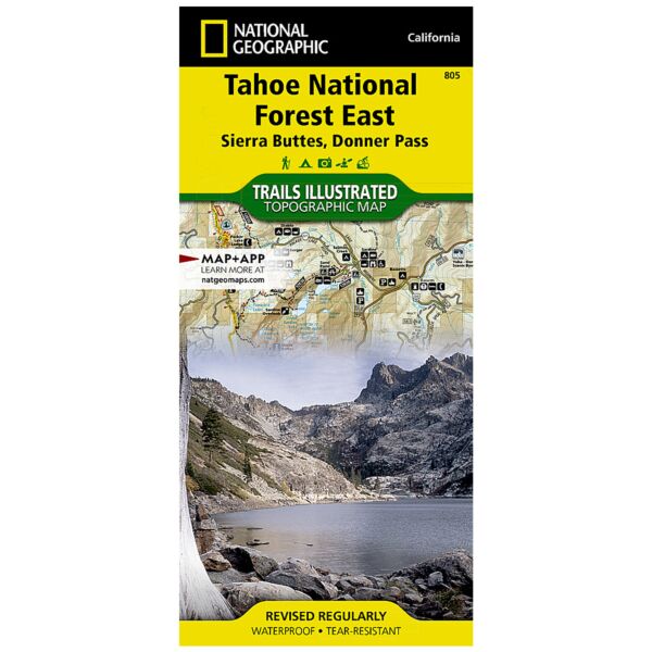
Expertly researched and created in partnership with local land management agencies, National Geographic's Trails Illustrated map of the Sierra Buttes and Donner Pass region of Tahoe National Forest provides an unparalleled tool for exploring this historically significant region of the Sierras. Whatever the season, you'll find this map a useful tool in pursuing a host of recreational activities from skiing and snowmobiling to camping and boating. The map features many key points of interest, including Truckee; Stampede, Prosser Creek, and Boca reservoirs; Reno; Donner and Independence Lakes; Middle Fork Feather River; Lakes Basin Recreation Area; and the Agate Bay and Crystal Bay portions of Lake Tahoe.
The Tahoe National Forest East map can guide you off the beaten path and back again with miles of clearly marked trails including portions of the Pacific Crest, Pioneer, and Tahoe Rim trails. Trail mileage between intersections will help you choose the path that's right for you. The Yuba Donner and Feather River scenic byways are noted for those wishing to take in the scenery by car. Many recreation features are noted as well, including ski areas, campgrounds, trailheads, wildlife viewing areas, boat launches, and swimming and fishing areas. The map base includes contour lines and elevations for summits, passes and many lakes.
Every Trails Illustrated map is printed on "Backcountry Tough" waterproof, tear-resistant paper. A full UTM grid is printed on the map to aid with GPS navigation.
Other features found on this map include: Carson Range, Donner Pass, Jackson Meadows Reservoir, Mount Lola, Mt. Rose Wilderness, Plumas National Forest, Reno, Sierra Buttes, Sierra Valley, Stampede Reservoir, Tahoe National Forest, Toiyabe National Forest, Truckee, Washoe Lake.
Specifications
| Product Number | TI00000805 |
| ISBN | 9781566953818 |
| UPC | 749717012585 |
| Dimensions | Folded: 4.25 x 9.25 in |
| Flat: 25.5 x 37.75 in | |
| Scale | 1:63,360 |
| Date | 2019 |
Features
- Waterproof
- Tear-Resistant
- Topographic Map
Brand
National Geographic Maps