Trails Illustrated Map: San Rafael Swell - BLM-Price Field Office
SKU
pg39922
As low as $14.95
Free Shipping*
Available to ship now
Free Store Pick-Up
At any of our Tucson locations
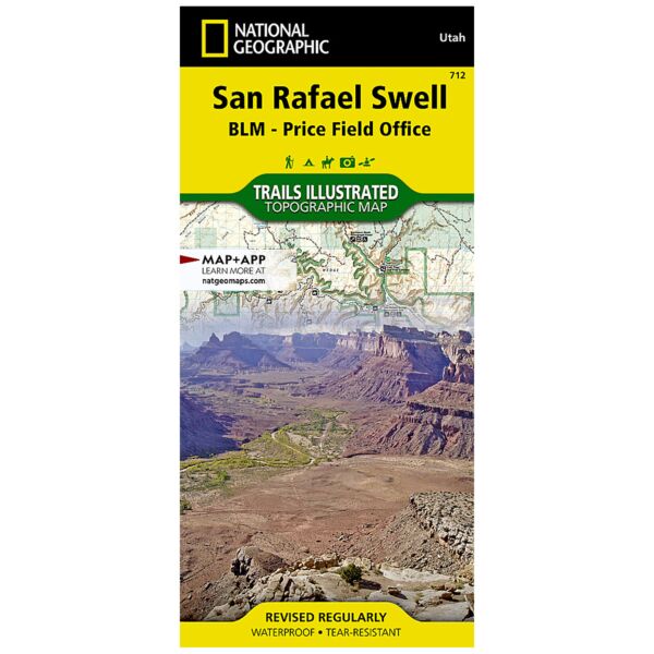
The San Rafael Swell is a dramatic landscape of slot canyons, pinnacles, mesas, and arches carved over eons by wind and water. Expertly researched and created in partnership with local land management agencies, National Geographic's Trails Illustrated map of San Rafael Swell provides an unparalleled tool for exploring this inspiring wilderness. Some of the key areas of interest featured on this map include Goblin Valley State Park, Cedar Mountain, Cleveland Lloyd Dinosaur Quarry, Sids Mountain, Green River, and Huntington State Park.
With miles of clearly marked hiking, mountain biking, and equestrian trails, and handy summaries of canyons, trailheads, and other areas of interest, this map will prove invaluable in your exploration of the park. Trail mileage between intersections will help you choose the path that's right for you. A variety of helpful information about the region, its geology, and tips for backcountry safety are included as well. The map base includes contour lines and elevations for summits and passes. Recreation features are clearly marked including campgrounds, trailheads, points of interest, interpretive trails, boat access, and more.
Every Trails Illustrated map is printed on "Backcountry Tough" waterproof, tear-resistant paper. A full UTM grid is printed on the map to aid with GPS navigation.
Other features found on this map include: Cedar Mountain, Coal Cliffs, Huntington Creek, San Rafael Desert, San Rafael Swell, Sinbad Country.
Specifications
| Product Number | TI00000712 |
| Dimensions | Folded: 4.25" x 9.25" |
| Flat: 25.5" x 37.75" | |
| Scale | 1:90,000 |
| Date | 2019 |
Features
- Waterproof and tear-resistant
- Clearly marked trails for hiking, biking, horseback riding, and more
- Detailed topography and clearly defined, color-coded boundaries of state parks, national recreation areas, wilderness areas, marine sanctuaries and wildlife refuges - Hundreds of points-of-interest, including scenic viewpoints, campgrounds, boat launches and canoe carry downs, swimming areas, fishing access points, and more
- UTM and Latitude/Longitude grid, as well as selected waypoints and a scale bar for easy and accurate navigation
- Detailed road network
- Useful travel information on parks and key trails
- Important safety information and tips
- Information about local organizations and land management agencies
Brand
National Geographic Maps