Trails Illustrated Map: Durango/Cortez
SKU
pg39912
As low as $14.95
Free Shipping*
Available to ship now
Free Store Pick-Up
At any of our Tucson locations
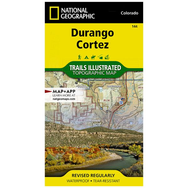
National Geographic's Trails Illustrated map of Durango and Cortez provides unparalleled detail of this culturally significant area of southwestern Colorado. Expertly researched and created in partnership with the U.S. Forest Service, the Bureau of Land Management and others, the map will guide you throughout your recreation or adventure in the area, regardless of the season. The map's coverage includes San Juan National Forest, Mesa Verde National Park, McPhee Reservoir and Recreation Area, Animas River and Valley, Canyon of the Ancients National Monument and Durango Mountain Ski Area.
This map can guide you off the beaten path and back again with a wide variety of trails, including trails for hiking, biking and motorized vehicles, plus city and primitive trails, the Animas River Trail and Colorado Trail. The map base includes contour lines and elevations for summits and passes. Recreation and adventure points of interest for all seasons are marked as well, including campgrounds and campsites, alpine and cross-country ski areas, trailheads and interpretive trails, rock climbing and fishing areas, boat launch and whitewater access points, scenic viewpoints and wildlife viewing areas. In addition, the map lists regional attractions along with their descriptions along with useful contact information of both public and private organizations involved in maintaining the region.
Every Trails Illustrated map is printed on "Backcountry Tough" waterproof, tear-resistant paper. A full UTM grid is printed on the map to aid with GPS navigation.
Other features found on this map include: Durango, Hesperus Mountain, La Plata Mountains, Mesa Verde National Park, San Juan National Forest, Sharkstooth Peak.
Specifications
| Folded Size | 4" x 7.5" |
| Unfolded Size | 25.5" x 37.75" |
| Scale | 1:63,360 |
| Revision Date | 2019 |
| ISBN | 9781566954631 |
| Product Number | TI00000144 |
| UPC | 749717009707 |
Features
- Waterproof and tear-resistant
- Clearly marked trails for hiking, biking, horseback riding, and more
- Detailed topography and clearly defined, color-coded boundaries of state parks, national recreation areas, wilderness areas, marine sanctuaries and wildlife refuges - Hundreds of points-of-interest, including scenic viewpoints, campgrounds, boat launches and canoe carry downs, swimming areas, fishing access points, and more
- UTM and Latitude/Longitude grid, as well as selected waypoints and a scale bar for easy and accurate navigation
- Detailed road network
- Useful travel information on parks and key trails
- Important safety information and tips
- Information about local organizations and land management agencies
Brand
National Geographic Maps