Trails Illustrated Map: Big Basin/Santa Cruz
SKU
pg57571
As low as $14.95
Free Shipping*
Available to ship now
Free Store Pick-Up
At any of our Tucson locations
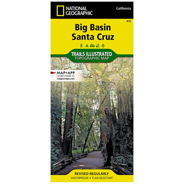
Expertly researched and created in partnership with local land management agencies, National Geographic's Trails Illustrated map of Big Basin, Santa Cruz provides an unparalleled tool for exploring this landscape of redwood forests and picturesque California coastline. Some of this map's key points of interest include Lexington Reservoir; Loch Lomond; and Big Basin, The Forest of Nisene Marks, Wilder Ranch, and Henry Cowell Redwoods (Fall Creek) state parks.
The handy trail chart will help you choose a trail that's right for your activity level and recreation use whether you're traveling by foot, horse, or bike. Trails where leashed dogs are allowed are noted as well. Miles of trails are clearly marked and include mileages between intersections. A camping chart lists campgrounds according to type and the services available at each. The map base includes contour lines and elevations for summits, the Pacific Ocean and some lakes. Public beach access, scenic viewpoints, boat launches, horse camps, and archery ranges are just some of the recreation features noted. Areas for fishing, swimming, and surfing are highlighted as well.
Every Trails Illustrated map is printed on "Backcountry Tough" waterproof, tear-resistant paper. A full UTM grid is printed on the map to aid with GPS navigation.
Other features found on this map include: Loma Prieta, Los Gatos, Point Año Nuevo, Point Santa Cruz, San Lorenzo River, Santa Clara Valley, Santa Cruz, Santa Cruz Mountains, Scotts Valley.
Specifications
| Product Number | TI00000816 |
| ISBN | 9781566956758 |
| UPC | 749717012714 |
| Folded Dimensions | 4 x 9 in |
| Unfolded Dimensions | 26 x 38 in |
| Scale | 1:40,000 |
Features
- Waterproof and tear-resistant
- Clearly marked trails for hiking, biking, horseback riding, ATV, and more
- Detailed topography and clearly defined, color-coded boundaries of state parks, national recreation areas, wilderness areas, marine sanctuaries, and wildlife refuges
- Hundreds of points of interest, including scenic viewpoints, campgrounds, boat launches, swimming areas, fishing access points, and more
- UTM and latitude/longitude grid, as well as selected waypoints and a scale bar for easy and accurate navigation
- Detailed road network
- Important safety information and travel tips
Brand
National Geographic Maps