Trails Illustrated Map: Aspen/Independence Pass - 2019 Edition
SKU
1273694
$14.95
Free Shipping*
Available to ship now
Free Store Pick-Up
At any of our Tucson locations
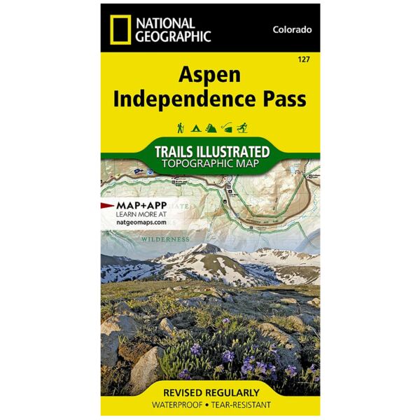
National Geographic's Trails Illustrated map of Aspen and Independence Pass delivers unmatched detail and valuable information to assist you in your exploration of this breathtaking region of Colorado. Created in partnership with local land management agencies, this expertly researched map features key areas of interest including Roaring Fork River; Twin Lakes; Independence, Taylor, and Midway passes; and Aspen and Buttermilk ski areas. Portions of Maroon Bells, Snowmass, Hunter, Fryingpan, Mount Massive, Collegiate Peaks, and Spruce Creek wilderness areas and White River, Gunnison, and San Isabel national forests are included as well.
The Aspen and Independence Pass map can guide you off the beaten path and back again with miles of mapped trails including segments of the Continental Divide and Colorado trails. Hiking, cross country ski, snowmobile, and bike trails are clearly marked, and trail mileage between intersections will help you choose the path that's right for you. The Top of the Rockies scenic byway is noted for those wishing to take in the scenery by car. The map base includes contour lines and elevations for summits and passes. Some of the recreation features shown are campgrounds, picnic areas, interpretive sites, fishing areas, trailheads, and points of interest.
Every Trails Illustrated map is printed on "Backcountry Tough" waterproof, tear-resistant paper. A full UTM grid is printed on the map to aid with GPS navigation.
Other features found on this map include: Castle Peak, Collegiate Peaks Wilderness, Continental Divide, Gunnison National Forest, Hunter-Fryingpan Wilderness, Independence Pass, La Plata Peak, Maroon Bells-Snowmass Wilderness, Mount Elbert, Mount Massive, Mount Massive Wilderness, San Isabel National Forest, White River National Forest, Williams Mountains.
Specifications
| ISBN | 9781566953580 |
| UPC | 749717009530 |
| Folded Dimensions | 4 x 7.5 in |
| Unfolded Dimensions | 22 x 32 in |
| Scale | 1:40,680 |
| Date | 2019 |
Features
- Waterproof
- Tear-Resistant
- Topographic Map
Brand
National Geographic Maps