Trails Illustrated Map: Tarryall Mts./Kenosha Pass
SKU
pg58363
Free Shipping*
Available to ship now
Free Store Pick-Up
At any of our Tucson locations
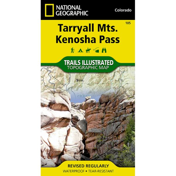
Expertly researched and created in partnership with local land management agencies, National Geographic’s Trails Illustrated map of Tarryall Mountains and Kenosha Pass provides an unparalleled tool for exploring this region of Colorado’s Rocky Mountains. Whether camping, hiking, snowmobiling, fishing, climbing, or biking, this map will prove invaluable in making the most of your outing. Key areas of interest featured on this map include Pine Valley Ranch Park; the Kenosha, Bison, Stoney and Hankins passes; Tarryall Reservoir; the North Fork of South Platte; Wellington Lake; and a segment of the Colorado Trail.
Designed with a wide range of visitors in mind, this map features detailed and easy to read trails, accurate road network, campgrounds, fishing areas, trailheads, climbing areas, and more. Trail use is clearly marked showing routes for hiking, mountain biking, snowmobiling, and other motorized vehicle use. The map base includes contour lines and elevations for summits, passes and many lakes.
Specifications
| Folded Dimensions | 4 x 7.5 in |
| Opened Dimensions | 25.5 x 37.75 in |
| Scale | 1:40,680 |
| Date Published | 2006 |
| ISBN | 9781566952866 |
| Weight | 3 oz |
Features
- All proceeds from the purchase of a National Geographic map help support the Society’s vital exploration, conservation, scientific research, and education programs.
- A full UTM grid is printed on the map to aid with GPS navigation.
- Every Trails Illustrated map is printed on "Backcountry Tough" waterproof, tear-resistant paper.
Brand
National Geographic Maps