Trails Illustrated Map: Rand/Stillwater Pass
SKU
pg58359
As low as $5.00
Free Shipping*
Available to ship now
Free Store Pick-Up
At any of our Tucson locations
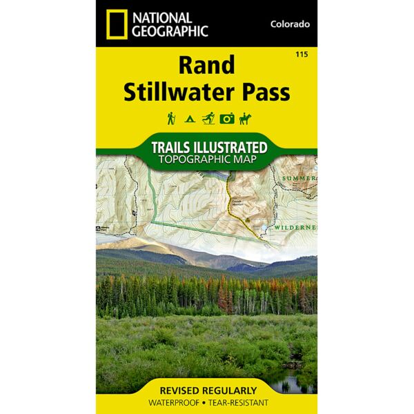
Coverage includes the Routt and Arapaho national forests, Never Summer Wilderness, Rabbit Ears Range, and the cities of Spicer and Rand. Also included are Seymour and Arapaho lakes, the Illinois River, and the following mountain passes: Calamity, Grannys Nipple, Indian, Bowen, Illinois and Willow Creek. Includes UTM grids for use with your GPS unit.
Specifications
| Folded Dimensions | 4 x 7.5 in |
| Opened Dimensions | 25.5 in x 32 in |
| Scale | 1:40,680 |
| Date Published | 2007 |
| ISBN | 9781566952828 |
| Weight | 3 oz |
Features
- Topographic map
- Tear-resistant
- Waterproof
Brand
National Geographic Maps