Rand Mcnally: Easy To Read: Montana & Wyoming State Map
SKU
pg71601
As low as $3.00
Free Shipping*
Available to ship now
Free Store Pick-Up
At any of our Tucson locations
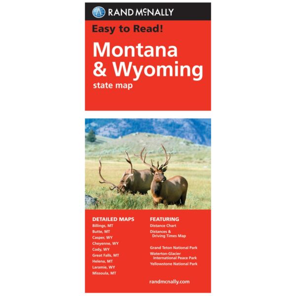
Rand McNally's Easy To Read State Folded Map is a must-have for anyone traveling in and around Montana and Wyoming, offering unbeatable accuracy and reliability at a great price. Shows all Interstate, U.S., state, and county highways, along with clearly indicated parks, points of interest, airports, county boundaries, and streets.
The easy-to-use legend and detailed index make for quick and easy location of destinations. You'll see why Rand McNally folded maps have been the trusted standard for years.
Detailed maps of: Billings, MT; Butte, MT; Casper, WY; Cheyenne, WY; Great Falls, MT; Helena, MT; Missoula, MT; Waterton-Glacier International Peace Park, Yellowstone/Grand Teton National Parks
Specifications
| Dimensions | 28 x 40 in |
| ISBN | 9780528881817 |
| Publisher | Rand McNally |
| Publication Date | 04/01/2010 |
Features
- Regularly updated, full-color maps
- 48% larger map with a bigger type size than the Rand McNally Folded Map
- Clearly labeled Interstate, U.S., state, and county highways
- Indications of parks, points of interest, airports, county boundaries, and more
- Mileage and driving times map
- Detailed index
- Convenient folded size
Brand
Rand McNally