Rand Mcnally: Easy To Read: Colorado State Map - 2021 Edition
SKU
1444703
$7.99
Free Shipping*
Available to ship now
Free Store Pick-Up
At any of our Tucson locations
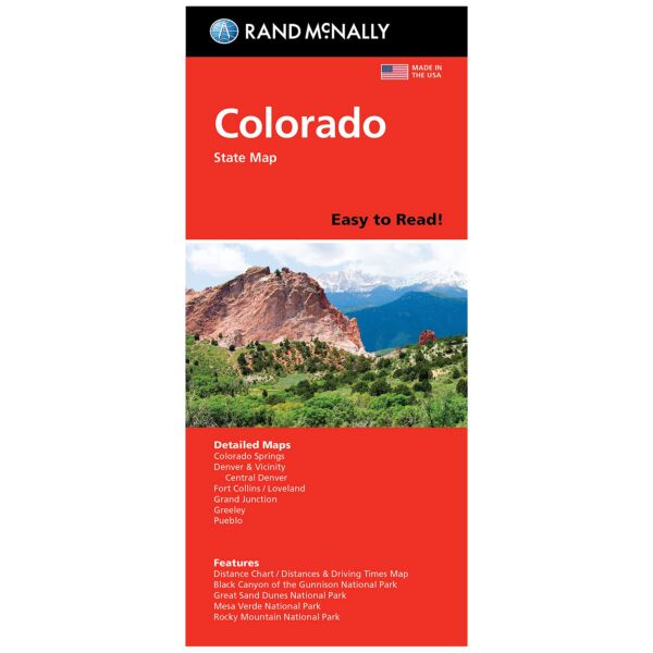
Rand McNally's Easy To Read State Folded Map is a must-have for anyone traveling in and around Colorado, offering unbeatable accuracy and reliability at a great price. Our trusted cartography shows all Interstate, U.S., state, and county highways, along with clearly indicated parks, points of interest, airports, county boundaries, and streets. The easy-to-use legend and detailed index make for quick and easy location of destinations. You'll see why Rand McNally folded maps have been the trusted standard for years.
Specifications
| Dimensions | 28 x 40 in |
| ISBN | 0528024442 |
| ISBN-13 | 9780528024443 |
| Publisher | Rand McNally |
| Publication Date | 2021 |
Features
- Regularly updated, full-color maps.
- Larger map with a bigger type size than the Rand McNally Folded Map.
- Clearly labeled Interstate, U.S., state, and county highways.
- Indications of parks, points of interest, airports, county boundaries, and more.
- Mileage and driving times map.
- Detailed index.
- Convenient folded size
- Coverage Area: Detailed maps of: Boulder, Colorado Springs, Denver & Vicinity, Downtown Denver, Fort Collins, Greeley, Mesa Verde National Park, Pueblo, Rocky Mountain National Park.
Brand
Rand McNally