Penitas Hills, AZ - 7.5' Topo 1979
SKU
pg53952
As low as $10.00
Free Shipping*
Available to ship now
Free Store Pick-Up
At any of our Tucson locations
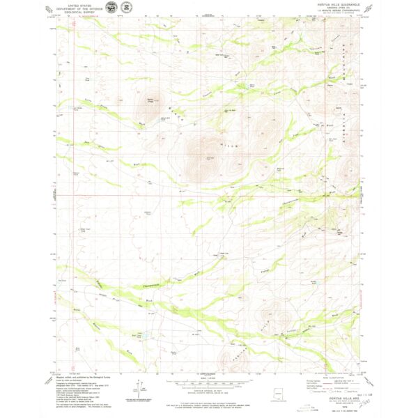
7.5' topographical quadrangle of the Penitas Hills and surrounding area, Pima County, Arizona
Specifications
| ISBN | 978-0-607-07012-5 |
| Date Published | 1979 |
| Latitude | 31° 45' 0? N to 31° 52' 30? N |
| Longitude | 111° 22' 30? W to 111° 15' 0? W |
Features
- Scale: 1:24,000
- North American Datum of 1983 (NAD 83). Projection and 1000-meter grid: Universal Transverse Mercator, zone 12 2500-meter ticks: Arizona Coordinate System of 1983 (central zone)
- North American Datum of 1927 (NAD 27) is shown by dashed corner ticks. The values of the shift between NAD 83 and NAD 27 for 7.5-minute intersections are obtainable from National Geodectic Survey NADCON software
- Image is for illustration purposes only, actual map will appear different
- If you do not see the map you are looking for please contact our friendly staff at 1-800-499-8689.***
Brand
USGS