Topographic Recreational Map of Arizona
SKU
pg61589
Free Shipping*
Available to ship now
Free Store Pick-Up
At any of our Tucson locations
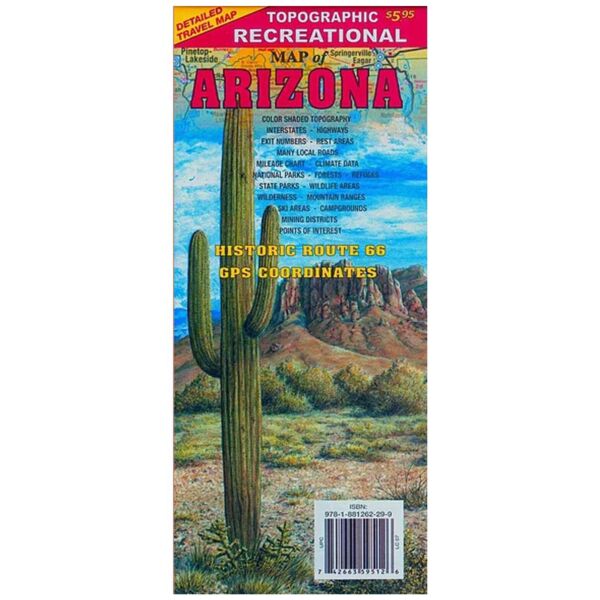
Topographic full color Arizona state map is scaled at 1" = 12.5 miles. Elevation contours each 1,000 feet (color shaded each 2,000 feet at higher elevations) portray the general geography. Old Route 66 is highlighted in yellow. Also shown are national forests, wilderness areas, campgrounds, parks, state game and fish areas, ski areas, mining districts, points of interest, and more. More roads are shown than on typical highway maps. Much printed information is also included.
Brand
Treasure Chest Publications