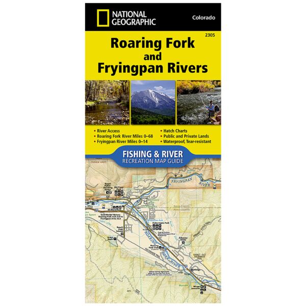
Fishing and River Map: Roaring Fork and Fryingpan Rivers
SKU
pg73384
As low as $14.95
Free Shipping*
Available to ship now
Free Store Pick-Up
At any of our Tucson locations
The Roaring Fork and Fryingpan Rivers Fishing & River Map Guide is designed to be the perfect companion to anyone recreating on either of these two iconic Colorado rives. The Roaring Fork begins at Independence Pass and passes through the towns of Aspen, Basalt, and Carbondale before finally joining the mighty Colorado at Glenwood Springs. Along the way, it covers 68 river miles and drops 6,700 feet in elevation and morphs from a small mountain stream into a mighty and powerful waterway known as "Thunder River" by the local Ute Indians struck by its imposing roar. Numerous recreational opportunities are available from fishing along the Rail-to-Trails converted Rio Grande Trail that follows the river for most of its length to running the class IV rapids just downstream from Aspen.
The Fryingpan River is known primarily for its Gold Medal waters that start at Ruedi Reservoir Dam and continue all the way to the confluence of the Roaring Fork in the historic outdoor recreation town of Basalt. This guide covers the Gold Medal Waters of the Fryingpan for 14 miles and ends at Ruedi Reservoir.
Each Fishing & River Map Guide includes detailed river maps at a scale of 1 inch = 1/2 mile. At this scale every turn in the river and rapid is clearly shown and labeled. Each page is centered on the river and overlaps with the adjacent pages so finding any location along the river is easy. The maps include rapids, river miles, access points, private and public lands, gaging stations, recreation sites, and more. Also included are stream flow charts, hatch charts, and a table of river access points.
More convenient and easier to use than folded maps, but just as compact and lightweight, National Geographic’s Fishing & River Map Guide booklets are printed on "Backcountry Tough" waterproof, tear-resistant paper with stainless steel staples. A full UTM grid is printed on the map to aid with GPS navigation.
Specifications
| Product Number | TI00002305 |
| Dimensions | 4.25 x 9.38 in |
| Scale | 1:31,680 |
| Date | 2018 |
| ISBN | 9781566957533 |
| UPC | 749717923058 |
Features
- Waterproof
- Tear-Resistant
- Fishing & River Map
Brand
National Geographic Maps

