Easy To Read: Utah State Map
SKU
pg71652
Free Shipping*
Available to ship now
Free Store Pick-Up
At any of our Tucson locations
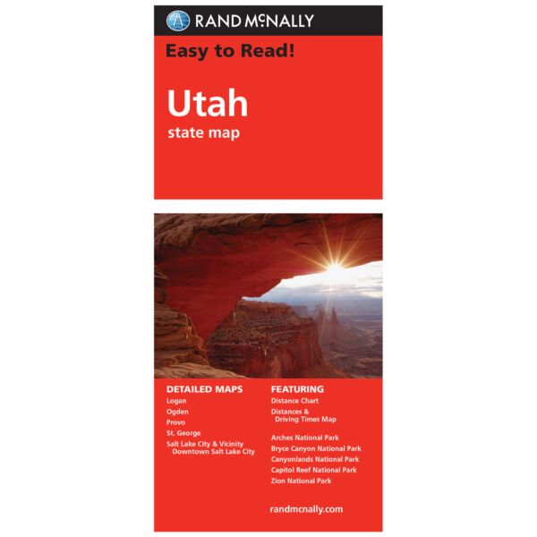
Rand McNally's folded map for Utah is a must-have for anyone traveling in or through the state, offering unbeatable accuracy and reliability at a great price. Our trusted cartography shows all Interstate, U.S., state, and county highways and much more.
Detailed maps include: Arches National Park, Bryce Canyon National Park, Canyonlands National Park, Capitol Reef National Park, Logan, Ogden, Provo, St. George, Salt Lake City & Vicinity, Salt Lake City Downtown, Zion National Park
Specifications
| ISBN | 0528882082 |
| ISBN-13 | 9780528882082 |
| Dimensions | Folded: 9 x 4.125 in |
| Open: 25.5 x 36.75 in |
Features
- Points of interest
- State park chart
- State mileage chart
- Driving times map
- On-the-road toolbox
- Visitor center information
- Climate data
- State facts & symbols
- Easy-to-use legend
- Detailed indexed
Brand
Rand McNally