Destination Map: Blue Ridge Parkway
SKU
900590
$14.95
Free Shipping*
Available to ship now
Free Store Pick-Up
At any of our Tucson locations
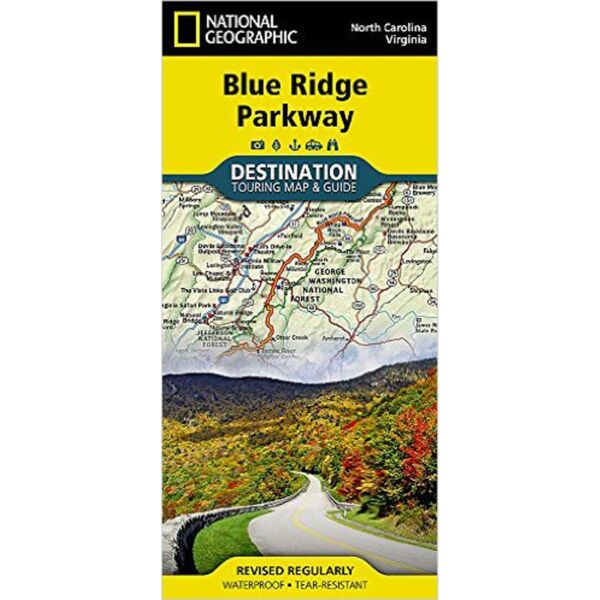
The Blue Ridge Parkway is a winding route that traverses some of America's most picturesque scenery. The Parkway is America's most visited National Park unit and when combined with Skyline Drive through Shenandoah National Park, also covered in detail on this map, a travel experience of over almost 600 miles is created. The Blue Ridge Parkway starts in the south at the foot of the Great Smoky Mountains and runs along the Blue Ridge through several National Forests from North Carolina and into Virginia.
Specifications
| Date Published | August 5, 2015 |
| ISBN-13 | 978-1597756242 |
| Open Size | 25.5" x 37.75" |
| Folded Size | 4.25" x 9.25" |
Features
- Charts detailing visitor centers and nearby state parks
- Colorful photographs featuring the region's enchanting landscape
- History, leaf viewing, wildflowers, wildlife, and places to visit
- Descriptive content highlighting outdoor recreation opportunities, water recreation, camping, hiking, and the Appalachian Trail
Brand
National Geographic Maps