Trails Illustrated Map: Deckers/Rampart Range
SKU
pg58299
As low as $5.00
Free Shipping*
Available to ship now
Free Store Pick-Up
At any of our Tucson locations
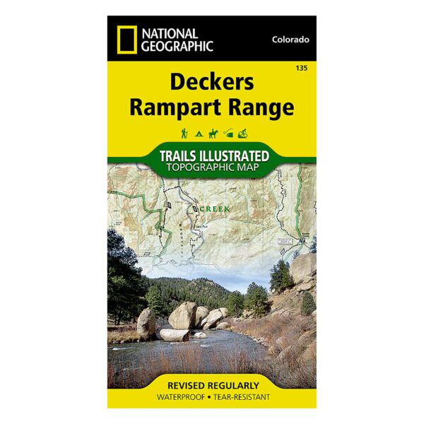
Coverage includes Pike National Forest; Roxborough State Park; Cheeseman Lake/Canyon; the gold medal trout waters of the South Platte River; cities of Westcreek, Deckers, Pine Nook, Sprucewood, Pine, Buffalo Creek and Waterton Canyon; Reynolds Park; Stoney Pass. Includes portions of the Colorado Trail.
Specifications
| Folded Dimensions | 4 x 7.5 in |
| Opened Dimensions | 22 x 32 in |
| Scale | 1:50,000 and 1:25,000 |
| Date Published | 2007 |
| ISBN | 9781566952798 |
| Weight | 3 oz |
Features
- Tear-resistant
- Waterproof
- Includes UTM grids for use with your GPS unit.
Brand
National Geographic Maps