Coronado National Forest Atlas
SKU
pg61155
As low as $45.00
Free Shipping*
Available to ship now
Free Store Pick-Up
At any of our Tucson locations
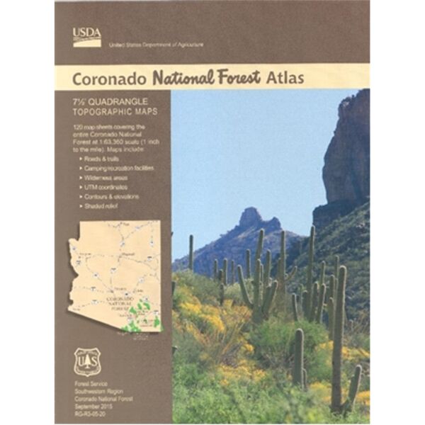
A comprehensive collection of all the 7.5" quadrangle topo maps that make up the Coronado National Forest, this atlas is exactly what you need to get around.
Specifications
| Scale | 1:63,360 (1 inch = 1 mile) |
Features
- Spiral-bound
- 120 maps included
- Maps include trails and roads, camping/recreation facilities, wilderness areas, UMT coordinates, contours and elevations, and shaded relief
Brand
USDA Forest Service