Green Trails Maps

The idea of high-quality, accurate maps of unexplored trails took birth in the late 1960s when Green Trails Maps founder Walt Locke got frustrated, clueless, and tired due to a lack of trail information and USGS topographic maps of Washington, Oregon, California, and Nevada, Arizona, and other regions. Walt founded Green Trails Maps in 1973 in Seattle, Washington, with the mission to design clear, compact, accurate, and convenient hiking maps for hikers, climbers, cross-country skiers, horseback riders, bike riders, and search and rescue groups.
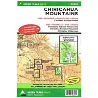
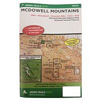
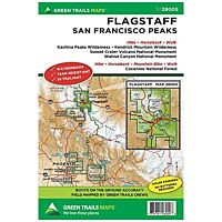
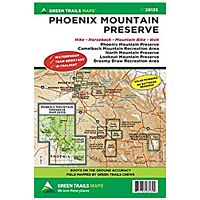
Being the first publisher of high-quality recreational topographical maps, Green Trails, Inc. successfully publishes over 150 titles in Washington State, connecting these lush green woods, tall mountains, spectacular beaches, and mighty deserts with hikers, climbers, and riders. West Arizona, California, Nevada, Oregon, Utah, and more regions are available on the Green Trails Maps to get the latest trail and trail access conditions, routes, distances, and elevations.