Brandenburg Mountain, AZ - 7.5' Topo 1972
SKU
17095
$10.00
Free Shipping*
Available to ship now
Free Store Pick-Up
At any of our Tucson locations
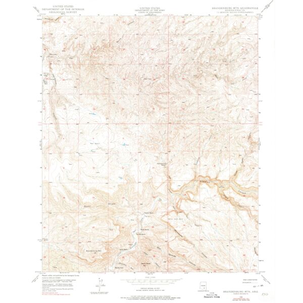
7.5 minute topographical map of Brandenburg Mountain, Pinal County, Arizona, 1972
Features
- 1949
- Scale: 1:24,000
- Polyconic projection. 1927 North American datum 10,000-foot grid based on Arizona coordinate system, central zone
- 1000-meter Universal Transverse Mercator grid ticks, zone 12, shown in blue
- Image is for illustration purposes only, actual map will appear different
- ***If you do not see the map you are looking for please contact our friendly staff at 1-800-499-8689.***
Brand
USGS