Blue Spring, AZ - 7.5' Topo 1988
SKU
pg64625
As low as $10.00
Free Shipping*
Available to ship now
Free Store Pick-Up
At any of our Tucson locations
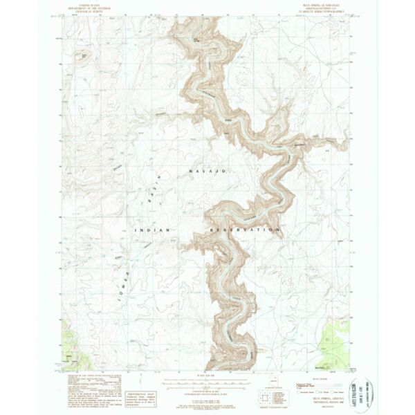
7.5 minute topographical map of Blue Spring, Coconino County, AZ, 1988
Features
- Long Name: BLUE SPRING, AZ
- Scale: 1:24,000
- Content: Contours
- Alternate ID: TAZ2147
- ISBN: 978-0-607-07669-1
- Authors:
- Version Date: 1988
- Regions: AZ
- Countries: USA
- Latitude: 36° 0' 0? N to 36° 7' 30? N
- Longitude: 111° 45' 0? W to 111° 37' 30? W
- Media: Paper
- Format: Flat
Brand
USGS