Bartlett Dam, AZ - 7.5' Topo 2004
SKU
pg64623
As low as $5.00
Free Shipping*
Available to ship now
Free Store Pick-Up
At any of our Tucson locations
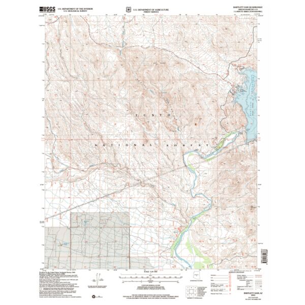
7.5 minute topographical map of Bartlett Dam, Maricopa County, 2004
Features
- Description: BARTLETT DAM, AZ
- Survey Date: 1964, 2004
- Print Date: 1992, 2007
- Height In Inches: 27.000
- Width In Inches: 21.600
- Boundary Type: Quadrangle
- UTM Grid: Grid
- Horizontal Datum: NORTH AMERICAN 1927;NORTH AMERICAN 1983
- Vertical Datum: NATIONAL GEODETIC 1929
- Two Sided: No
- Plates: 1
- Pieces: 1
- Languages: English
Brand
USGS