Trails Illustrated Map: Alpine Lakes Wilderness - Mt. Baker-Snoqualmie and Okanogan-Wenatchee National Forests
SKU
805127
$14.95
Free Shipping*
Available to ship now
Free Store Pick-Up
At any of our Tucson locations
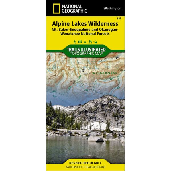
One of five Trails Illustrated maps for the Washington Cascades region offering the most detailed and up-to-date map for the forest, carefully researched and developed in co-operation with local land managers and agencies. Each map contains easy to read trails, numbered forest service roads, campsites, access points, scenic points-of-interests, and important facilities.
Coverage includes: Pacific Crest Trail, Cle Elum, Kachess & Keechelus Lakes, Wenatchee River, Deception Falls, Stevens Pass Greenway Wilderness Coverage: Alipine Lakes. Other Attractions: Hiking Trails, Mountain Biking, Scenic Back Roads, Boat Ramps, Mountain Climbing, Sno-Parks, Ski Areas, Fishing, Snowmobile Trails.
Specifications
| ASIN | B00FFBBQ3E |
| Folded Dimensions | 4 x 9 in |
| Unfolded Dimensions | 26 x 38 in |
| Scale | 1:75,000 |
Features
- Waterproof and tear-resistant
- Clearly marked trails for hiking, biking, horseback riding, ATV, and more
- Detailed topography and clearly defined, color-coded boundaries of state parks, national recreation areas, wilderness areas, marine sanctuaries, and wildlife refuges
- Hundreds of points of interest, including scenic viewpoints, campgrounds, boat launches, swimming areas, fishing access points, and more
- UTM and latitude/longitude grid, as well as selected waypoints and a scale bar for easy and accurate navigation
- Detailed road network
- Important safety information and travel tips
Brand
National Geographic Maps